 Besucher/Visitors
Counter
|
|
|
|
"Iceland 2010, part 5, the fourth week in Iceland, western fjords to Reykjavik" NOTE: Due to the duration of the trip and therefore volume of the diary I have split it up into several parts.
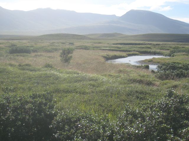
19.08.2010 Starting-km: 135.683, End-km 135.983, Distance 300 km This morning nearly no wind and sunny – yippee! I drove first the 1” south and I had some nice views due to the sunshine.
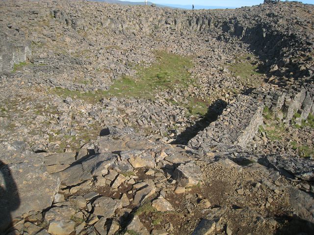
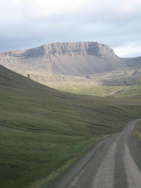
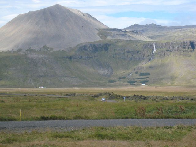
Not long after this stop I drove right onto the 716, which I left quite soon to hit the 717. The reason is the old fortress Borgavirki, but before I reach that I first pass by an old settlement Ingimundarhóll.
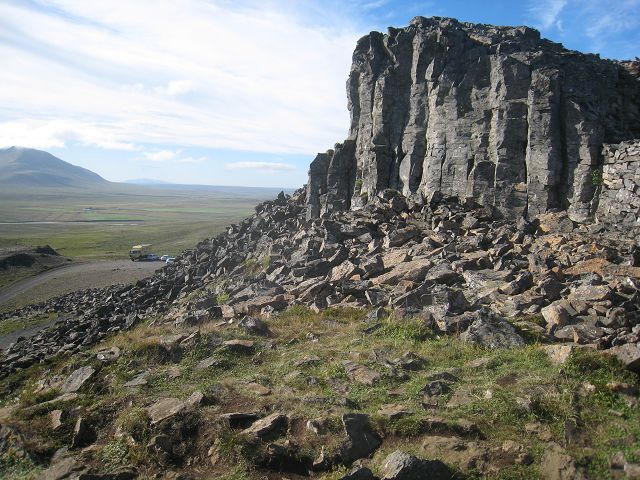
Then I reached Borgavirki, where they had rebuilt the walls.
Nevertheless very interesting to have a look at.
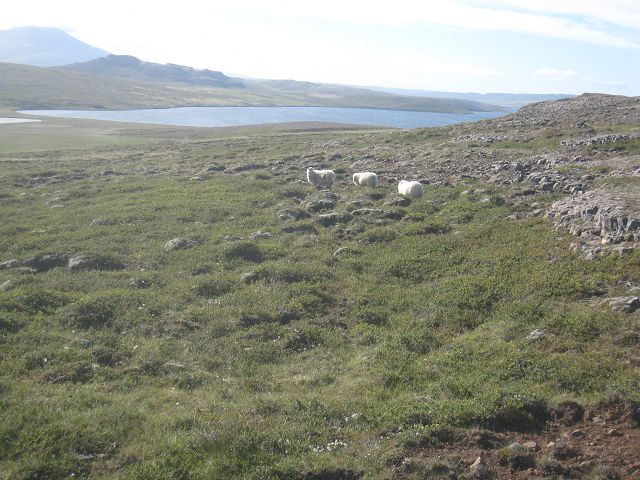
In the foreground 3 of 283.576 sheep I met so far, in the background Borgavirki.
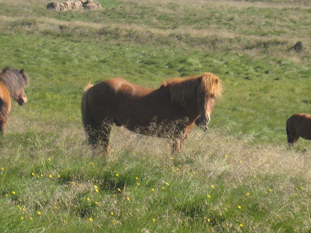
Icelandic horses.
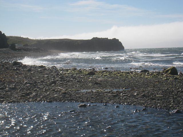
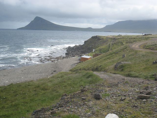
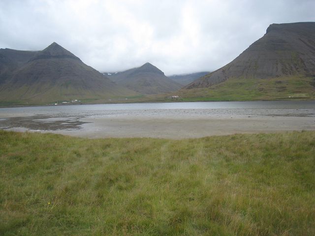
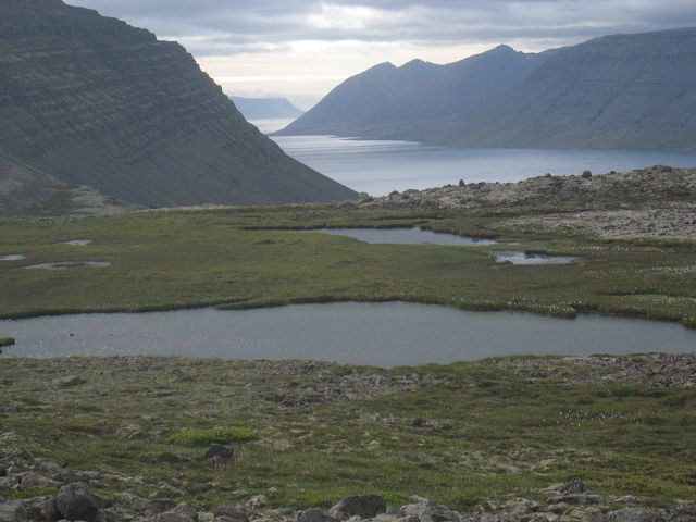
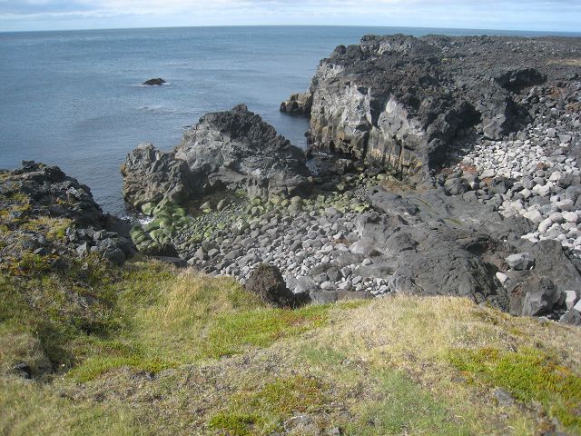
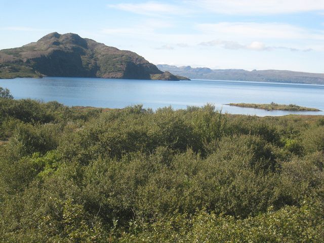
This is a lake reaching the polar sea, just before Hvítserkur
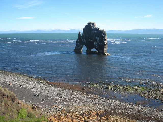
Shortly afterwards you reach the parking place at the 711 of Hvítserkur.
A small river flows here into the sea.
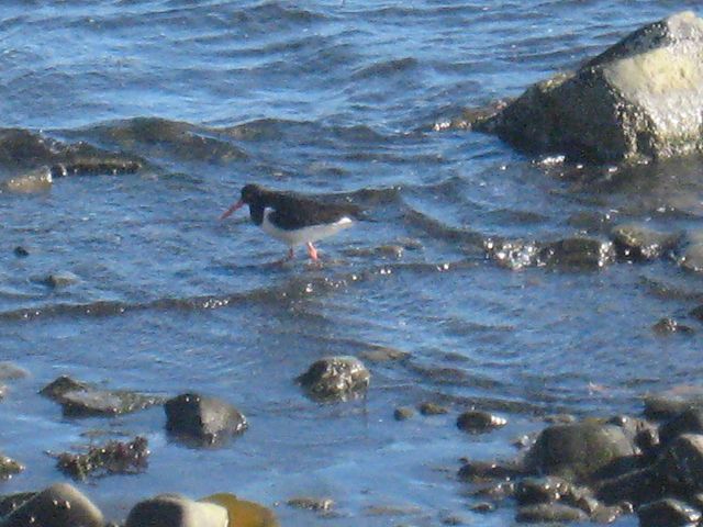
The birds have a good live here.
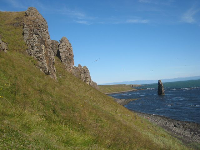
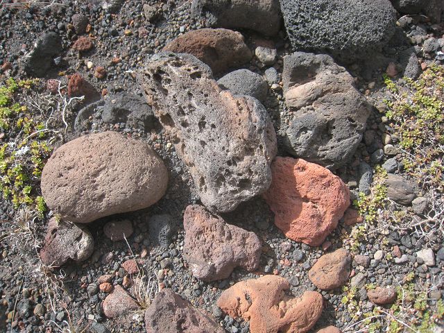
A the coastline are enough upright blocks of lava to built new rocks like Hvítserkur in a view million years.
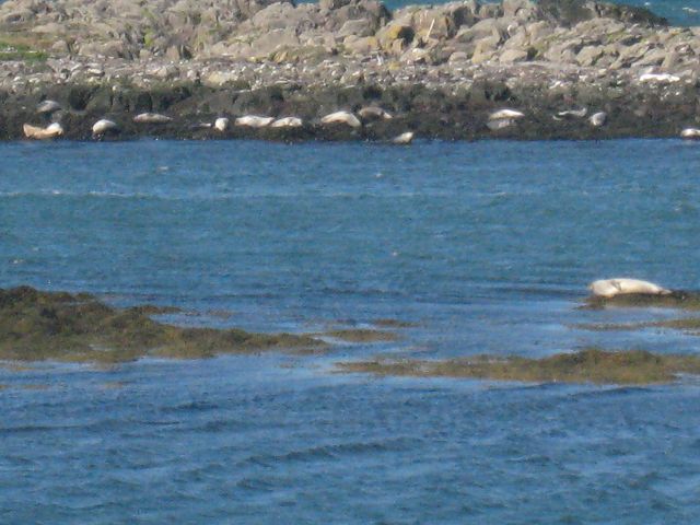
Not far from here are several areas where seals are having their sunbath.
But because they are always on cliffs in the water you don’t get very close to them.
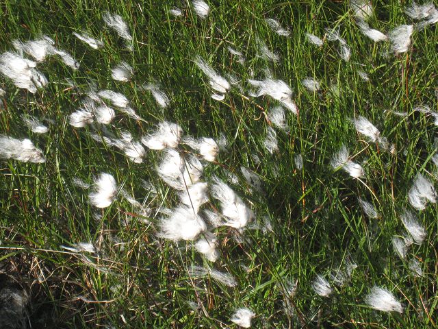
Does anybody know the name of this grass?
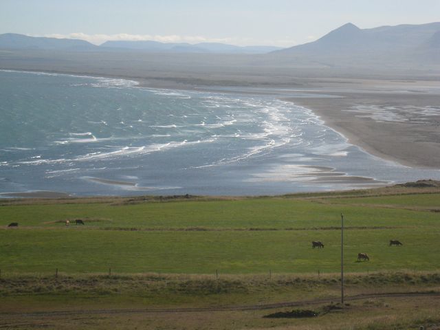
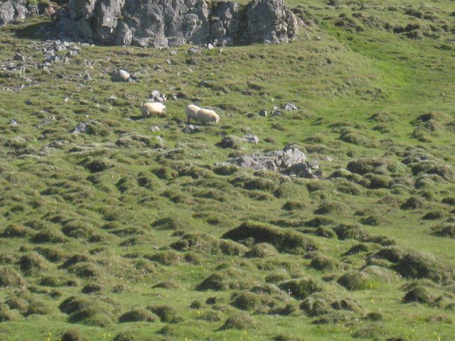
Again sheep, this time in front lots of small hills.
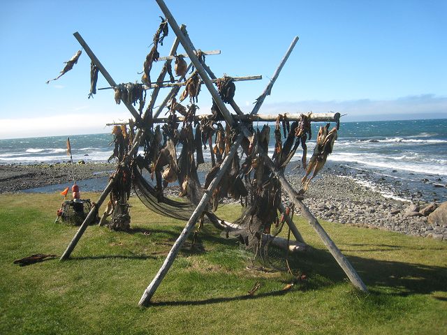
Don’t know if you can still eat this dried fish.
Some shots on my way to Hvammstangi:
At the end of the bay I headed north again on the 68.
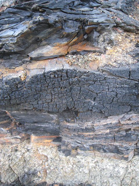
At some farmhouses which have as well the name Húsavik is a small valley where you can find petrified trees and sleeves which are 12 million years old.
A view minutes later you reach Hólmavik where they try to get publicity with troll fairytales.
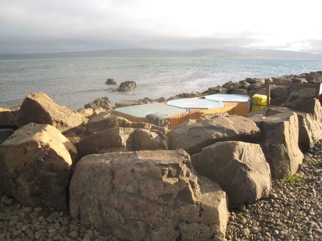
And here the 3 hot tubes of Drangsnes directly next to the street and the sea – a fantastic view if it wouldn’t be so stormy!
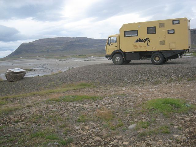
After a bath I prepared the mushrooms I had found and go to bed in Big Foot which is shaking a lot because of the storm.
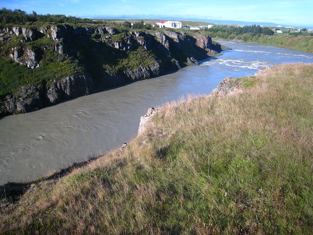
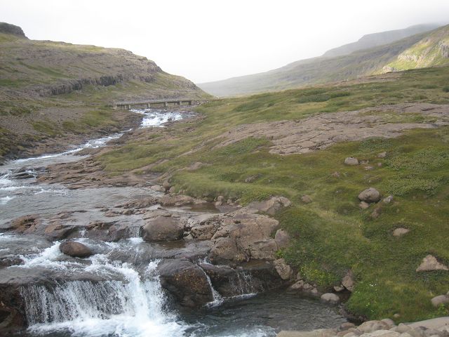
20.08.2010 Starting-km: 135.983, End-km 136.409, Distance 426 km After I had been woken up whilst the night by several heavy windshakes I slept too long. So I didn’t hit the 645 before 11:00h direction north, which hits not that far away the 643 which I followed further north. On the way various nice views such as this river which reaches into the sea after a view meters.
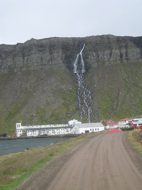
At Djupavik is a no longer in use herring station which they are now using as a kind of industrial museum. But the weather wasn’t that good so that I refused further examination.
On the further way I had sometimes sunshine which gave nice contrasts.
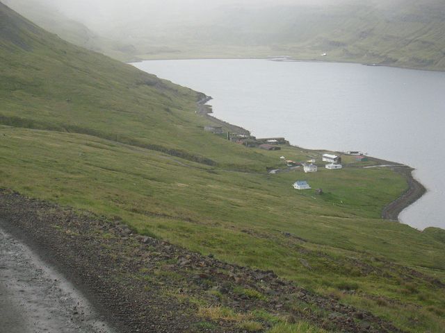
In the fjord Ingólfsfjöður was a further given up herring station.
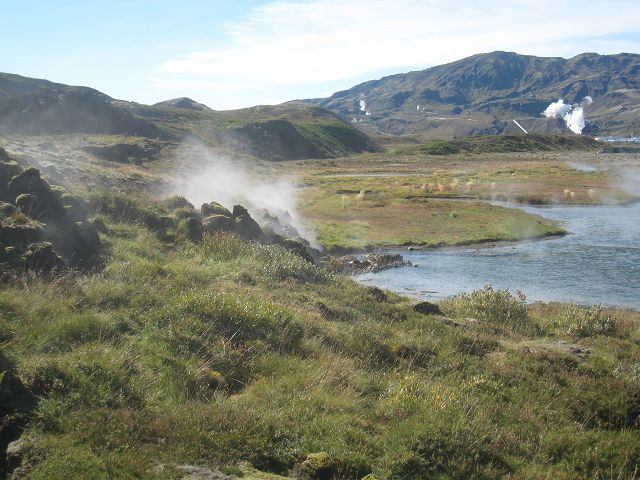
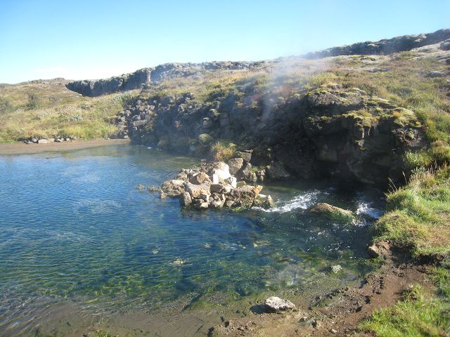
Directly behind Krossnes was a spa which was filled by thermal water directly at the sea but although of the nice location I found the pools from yesterday had more style.
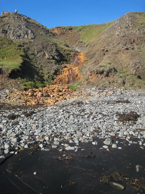
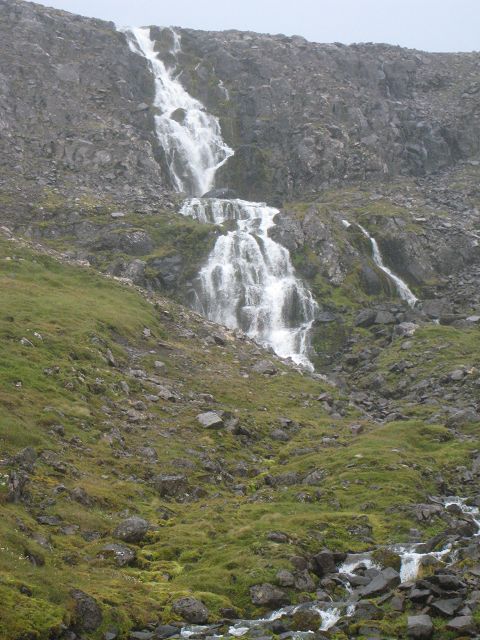
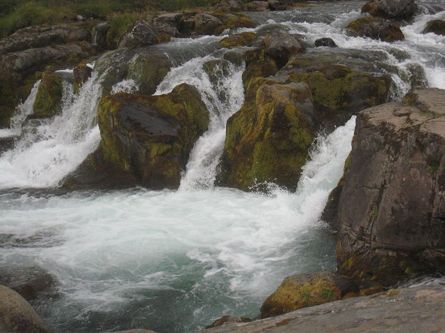
As a result I returned and made a quick photo of the waterfall at (most likely) Potfjall through the open co-driver window because it was extreme spray-rain and very windy – but the left side was in the lee-side. J
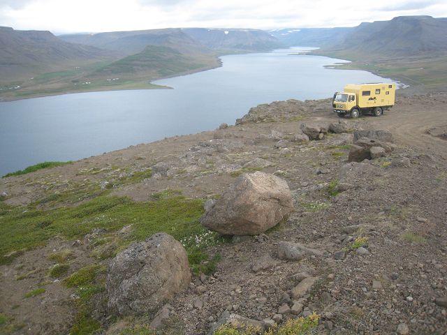
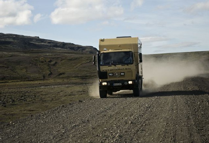
So I drove back the dead-end road and made a lot of kilometres on my way to the west fjords.
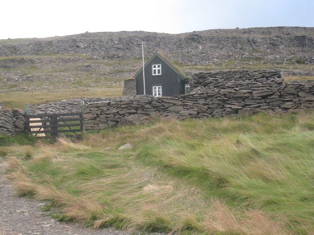
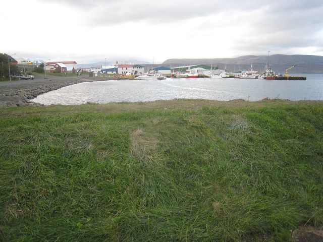
On the way I filled up the tank at km 136.270 which means ~29l/100km. With some bridges it would have been a much shorter trip but finally I arrived at 20:00h in Isafjördur and found a place to rest in the harbour area. Not too far away, a little bit before Súðavik was this farm, going back to the end of the 19th century.
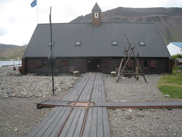
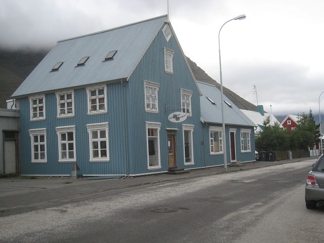
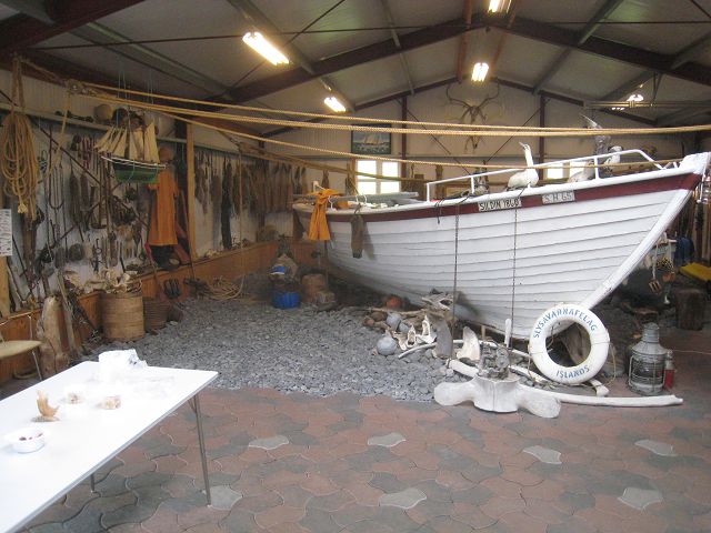
21.08.2010 Starting-km: 135. 409, End-km 136.570, Distance 161 km After breakfast, washing some cloths and Big Foot from outside I visited the local museum. Again reasonable entrance fee and small, the shown themes are repeating now more and more but nevertheless a good presentation and the houses are nice as well.
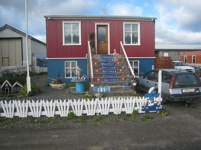
Lots of the houses in the town look pretty although they are outside made out of washboard-steel.
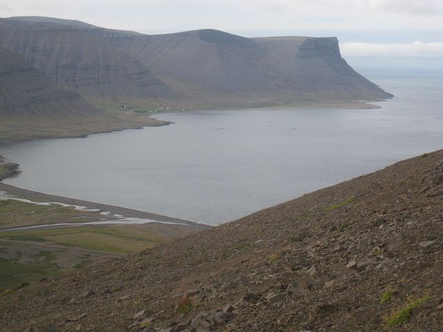
After I have passed one of the very few tunnels of Iceland I have a nice view close to Holt.
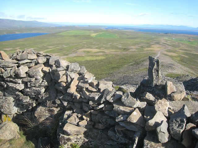
I follow the 60, at Þingery the „town-mountain“ offers a fantastic panorama.
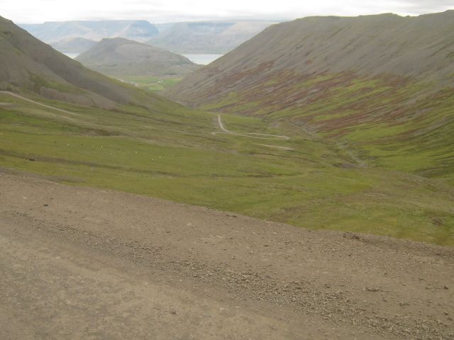
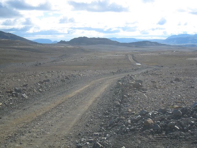
from here the 60 becomes a gravel road and gets up in serpentines,
From the top you can see as well the way up to the “town-mountain of Þingery,
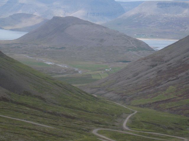
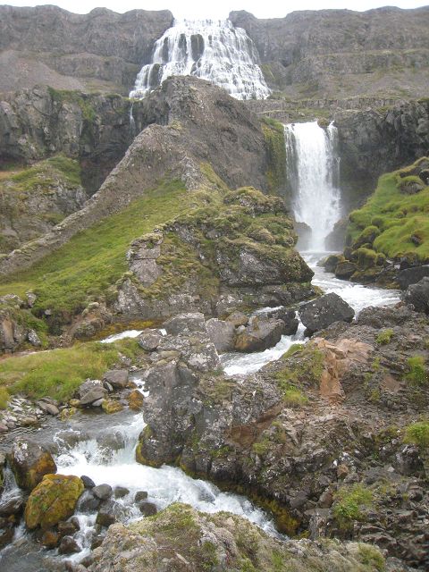
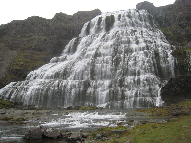
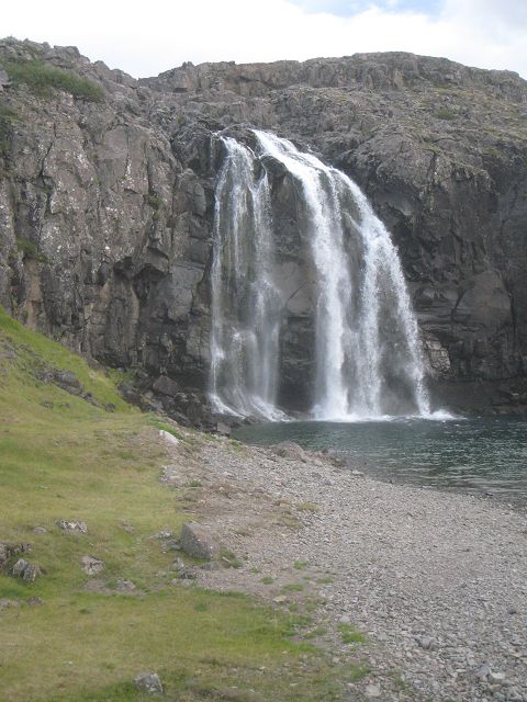
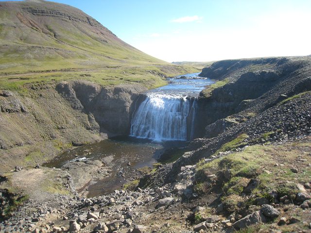
Then it goes down in serpentines and once you are at the bottom of the fjord you can spot the most popular waterfall of the western fjords, called Dynjandi.
When climbing up you have always new, interesting spots.
Was Däniken right and have really been here extra-terrestrials 15 million years ago in the fire-prove space-suits and left their footprint in the fluid lava? Or was it simply a troll?
Who thinks that a great view can’t be improved … .
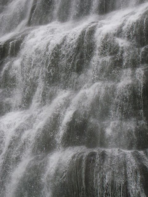
From here the street was going up again and this was more or less the view from the rim of the waterfall.
Sunshine!
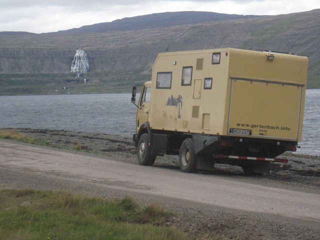
At ~19:00h I arrived at Bildudalur where I rested at the spa, here my view to the harbour.
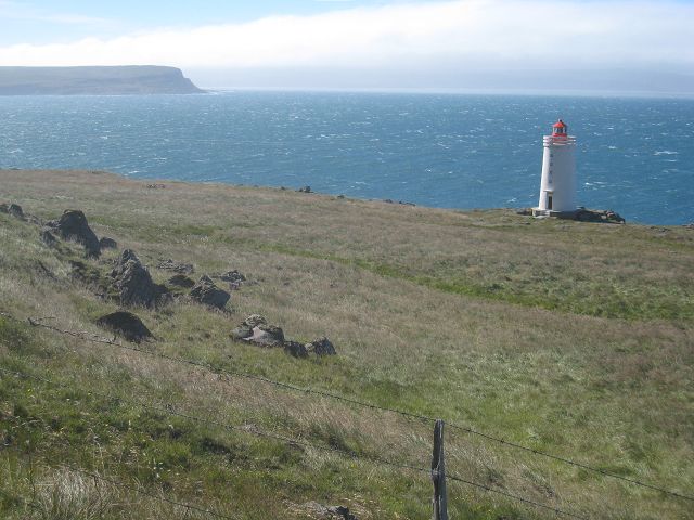
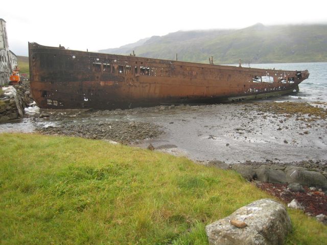
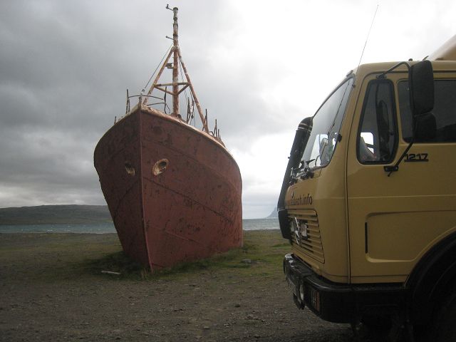
22.08.2010 Starting -km: 135. 570, End-km 136.755, Distance 185 km The whole night it is stormy, in the morning it is even cloudier then the day before. So I made only a view photos from today’s tour. I cross another mountain ridge to drive around the last one of the western fjords. At Dynjandi I leave the previous road and hit the road which will bring me to Látrabjarg. Not so far after the crossing you find the first steel ship of Iceland beached here in 1981.
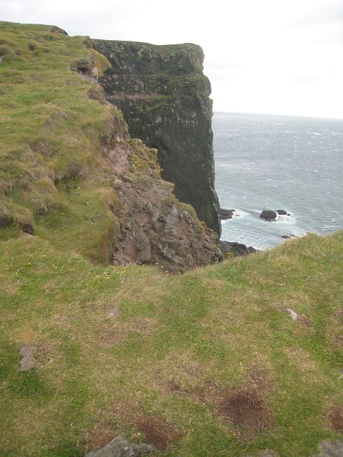
I continue and reach finally the most western point of Europe, as the Icelanders note proudly on the information plate – but isn’t Denmark and therefore Greenland not part Europe?? Látrabjarg is THAT destination if you want to see puffins but as already mentioned earlier they move onto the open ocean from of the 10th August. I don’t mind too much because the photo below was made whilst I was standing skew and one leg pretty much to the front to push against the storm from behind – plus I was ~ 2 meters away from the rim because I was too scared!!!
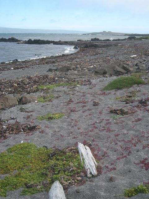
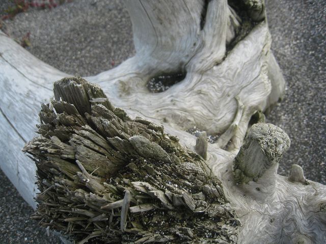
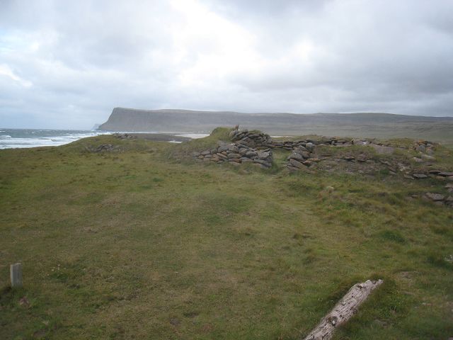
When you return you find at a sandy beach these relicts of old fishermen huts dating back to 1620.
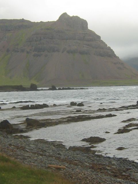
Not too far away before I reached the ferry-harbour Brjánslækur I made a stop at this nice location.
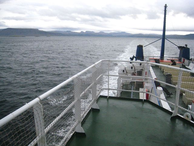
The crossing war amazingly quiet, I had expected much rougher sea because of the storm at land. But because we were sailing in the direction of the wind even standing at deck was possible.
I arrived at ~22:00h at Stykkishólmur and stopped at the parking of the tourist information.
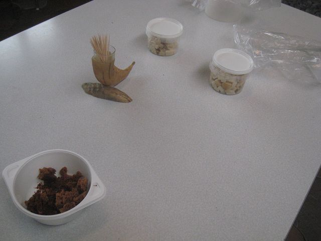
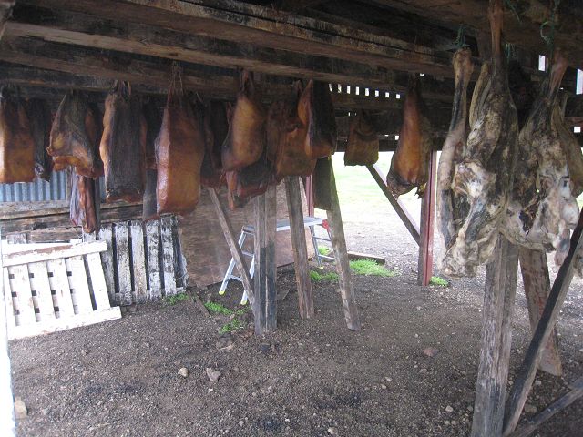
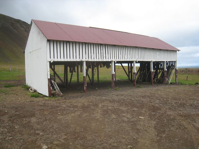
23.08.2010 Starting-km: 136.755, End-km 137.023, Distance 268 km This Monday morning it is still very stormy and cloudy. No chance for me to change anything, so up and away direction west on the “54”. Not far from Stykkishólmur is a sign Bjarnarhöfn with a shark-symbol. At the farm is a small museum and when you enter the smell is extreme. The ancestors were still catching shark here and besides exhibits
you can taste fermented shark.
OK, does not taste that different to herring, but the aftertaste is a little bit hot but definitely not as severe as the smell here!
Outside is a shade in which the shark is dried for 6 months once it has been stored for 4 weeks. Because of the storm it does not smell here. NB: This location is inhabited since 866!
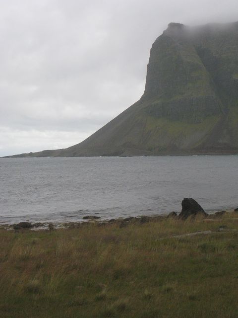
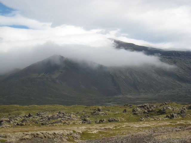
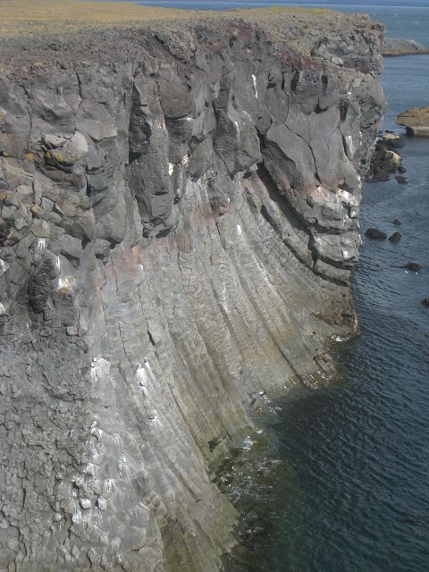
First the 1.446 meter high volcano Snæfellsjökull was in thick clouds but once I had circled around him and was south of him I could sometimes see his top.
At the bottom of the volcano at the seaside you have more beautiful views
and spots.
This location impressed me most
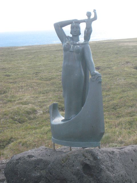
because here a really fascinating woman was born at Laugarbrekka, Guðriður Þorbjarnardóttir. To make it simply I refer to Wikipedia:
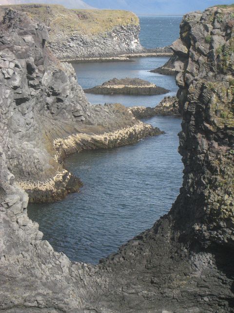
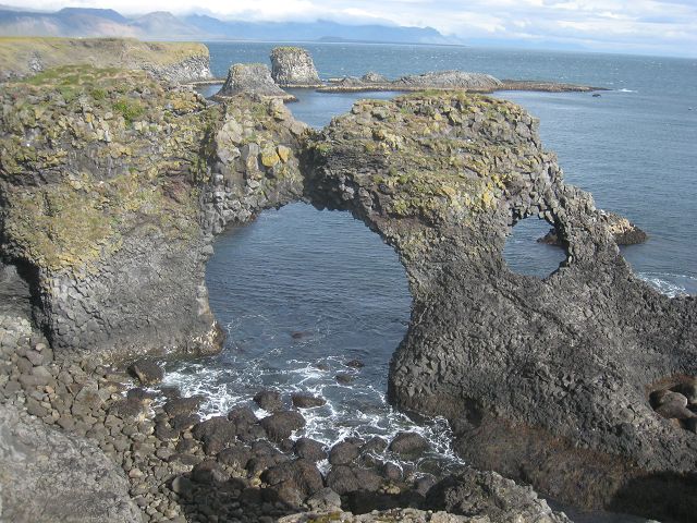
At Arnarstapi the lava-arches offer great scenes.
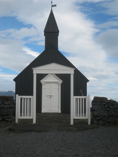
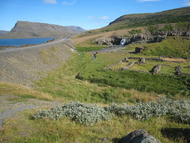
Not far from here is the “black church“ Búðir where a nature reserve offers footpaths but as well the view to the volcanoes in the back are nice to look at.
My final destination today was Borgarnes, where I rested directly at Borgarfjörður, next to the „settlement“-museum. But before I had filled up diesel again, 213l, which results in 29l/100km.
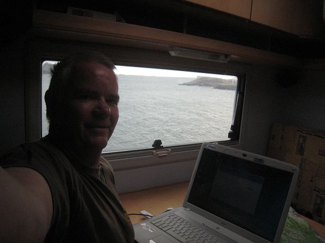
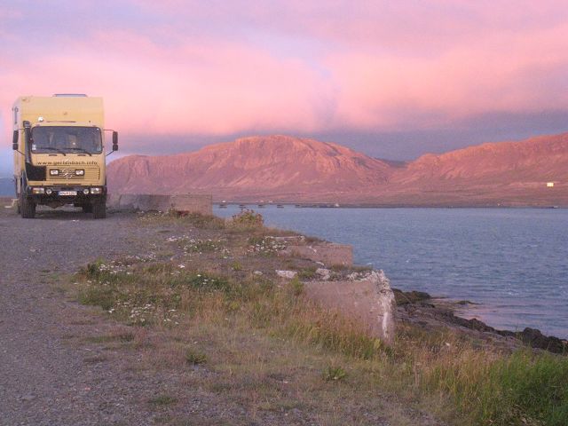
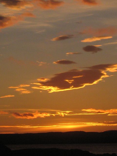
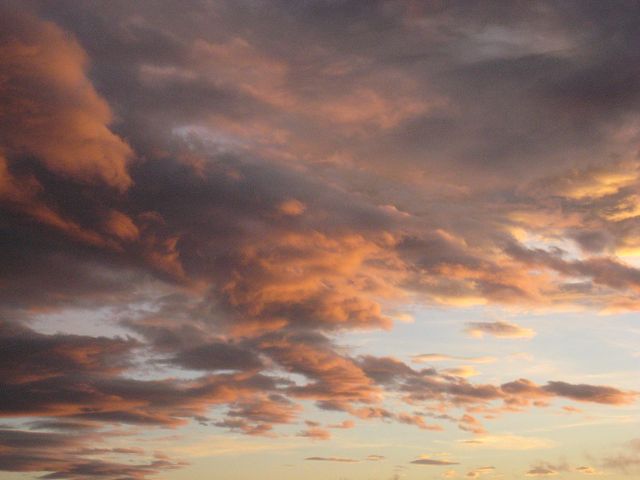
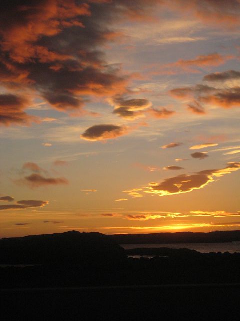
Having finished a lasagne I enjoy the great view and type these words into my laptop.
And then I had THIS sunset!!
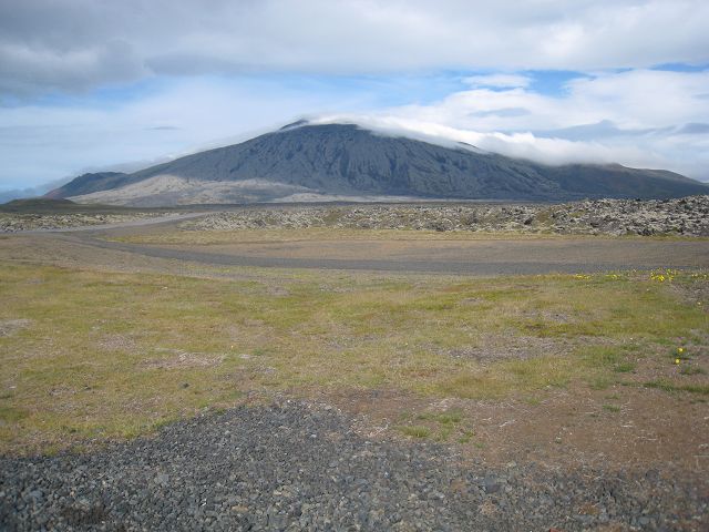
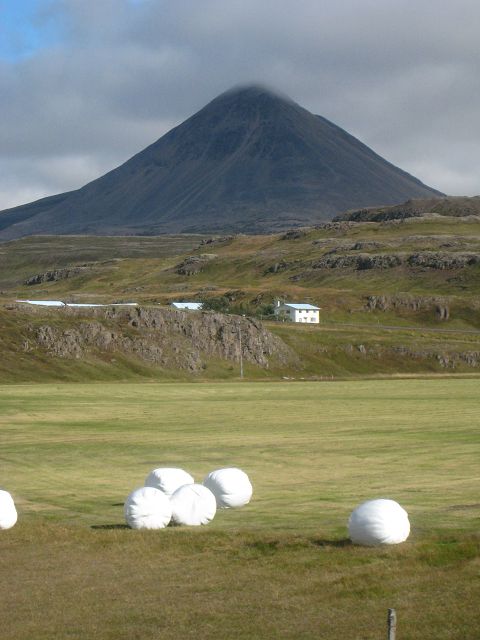
24.08.2010 Starting-km: 137.023, End-km 137.238, Distance 215 km This Tuesday morning was as well sunny and not so windy. On the „1“ I drove direction north-east, my first target was the volcano Baula, which is a quite noun and has a pyramidal structure. Unfortunately he was in clouds.
After a few kilometres I hit the 528, then the 525 to go via the 522 onto the 523.
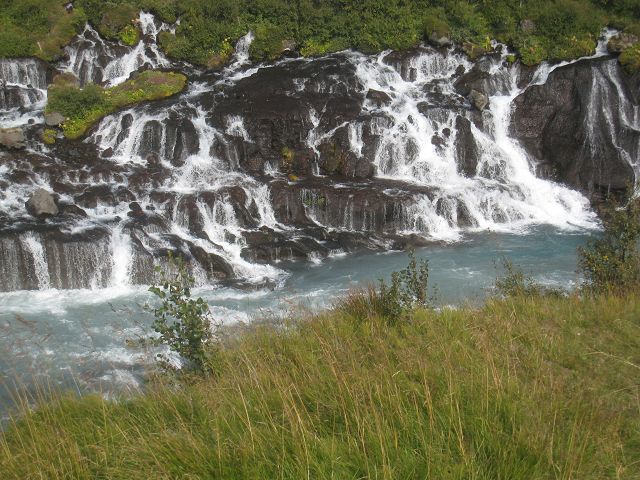
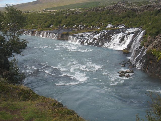
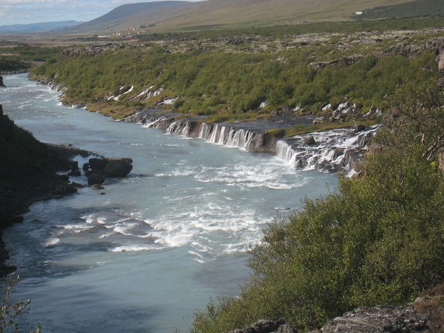
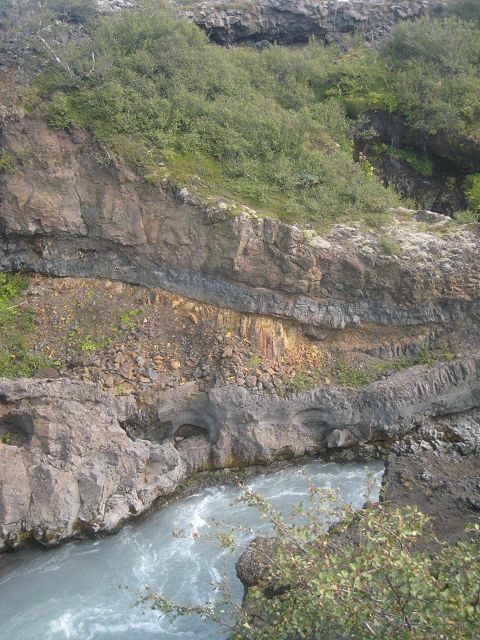
The target was the waterfall Hraunfossar, where a lot of tiny waterfalls come out of the porous lava.
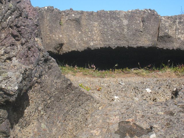
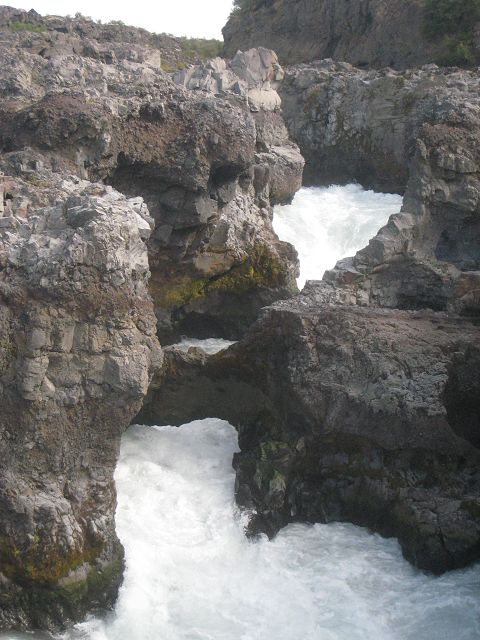
Directly above is the Barnafoss and a natural arch is still crossing the river.
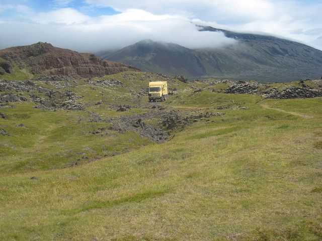
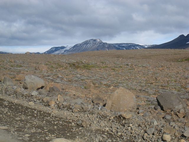
From here I drove on the 550, which passes the glacier Langjökull, my next target.
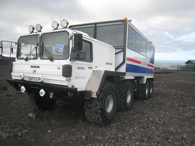
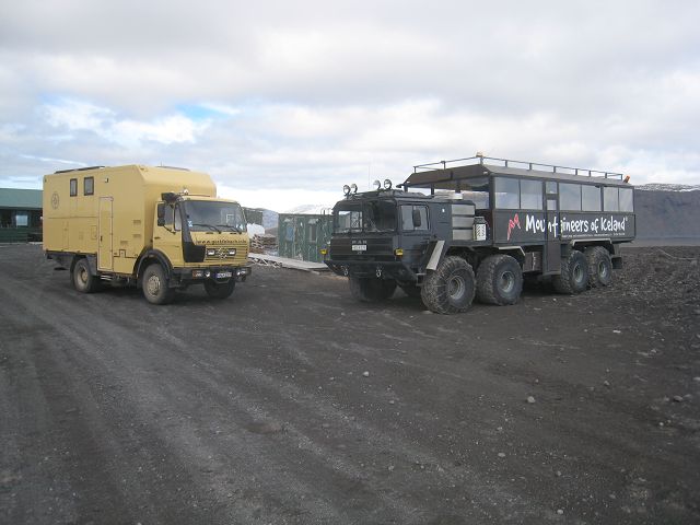
These baby „coaches” are used for glacier tours.
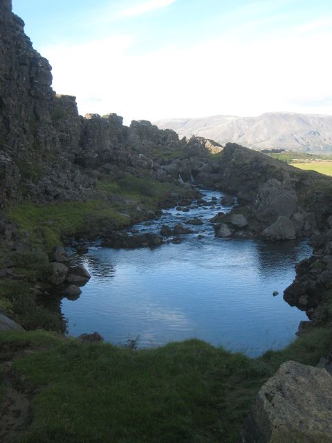
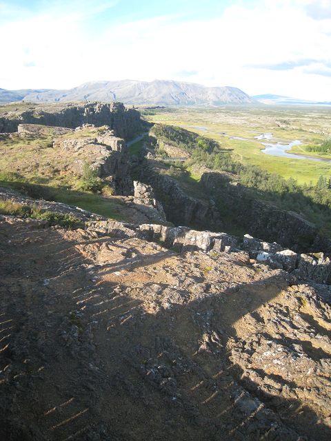
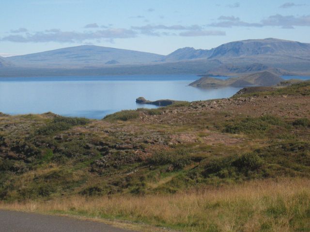
Then I went south, downhill, to Þingvellir.
A very important place for Icelanders, because in past times they met here regularly.
Here is again the borderline between American and Eurasian continent.
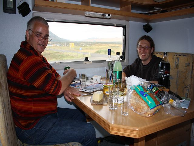
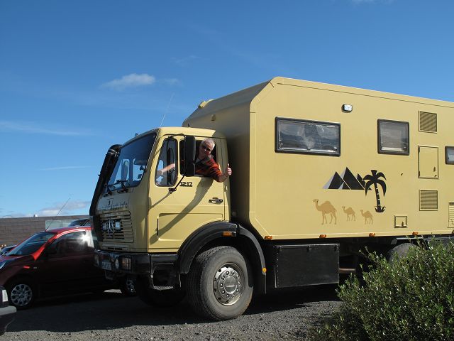
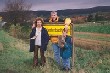
Julia and Stefan I met now for the third time and we took the opportunity to have a chat which resulted in a long and nice evening.
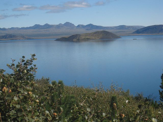
25.08.2010 Starting-km: 137.238, End-km 137.505, Distance 267 km This Wednesday morning we had to say good-by. I made a tour around the lake and had a lot of great place to make photos of.
The next road was the 48 where I made this photo of the waterfall Þorufoss,
to surround on the 47 the fjord Hvallfjörður. Nearly at the end of the fjord on the southern side is this ruin with the small waterfall.
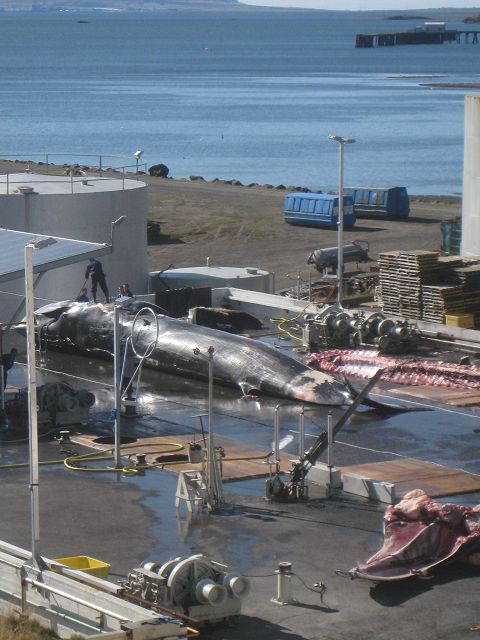
More or less on the opposite, northern side I had this whale-watching, unfortunately on the brutal way!
So far it was a great country and I loved it but why can’t they stop this shit and restarted whale-hunting 2006 again for “scientific reasons”???
Even though I had great sunshine I drove depressed to Akranes and passed then the tunnel going underneath the fjord Hvallfjörður to Reykjavik, where I rested at Grotta.
|
|