 Besucher/Visitors
Counter
|
|
|
|
"Iceland 2010, part 2, the first week in Iceland, eastern- and south-east-Iceland " NOTE: Due to the duration of the trip and therefore volume of the diary I have split it up into several parts.
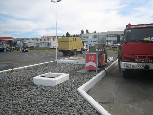
29.07.2010 Starting-km: 133.345, End-km 133.472, Distance 127 km After I had left the ferry and passed the boarder controls (without any checking, the only question was, if I will go fishing – if yes, they would have sterilized the equipment) family Lauerbach and I drove to the next town named Egilsstaðir where we did the most important things within a distance of 50 m:
- Filling up the tank (I want to highlight that most gas stations have a
free-of-charge disposal facilities for washing water, toilets and fresh water
for the water tanks. As well you can wash your car with a brush free of charge
as well! There does not seem to be any shortage on water, the water hoses all
have drinking quality and nearly all rivers have a perfect water quality to fill
the tanks, but the gas station facilities offer a much easier way.) - Shopping – there are 2 supermarkets, „Bonus“ was the cheaper one with bigger choice – except for bread. Here I bought 5 maps in scale 1:300.000. - Cash Dispenser - Tourist-information. They offer free-of-charge guides, which are quite good, in total we found 4, plus post cards, stamps, books, souvenirs, ….. - Telecommunication-Shop (I bought a Siminn-card and surf-stick, 1 month duration and 4GB volume for ~12 EURO)
So it was just a short stop and we drove north,
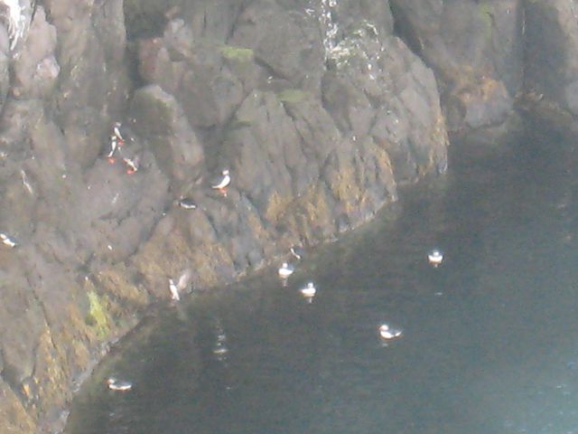
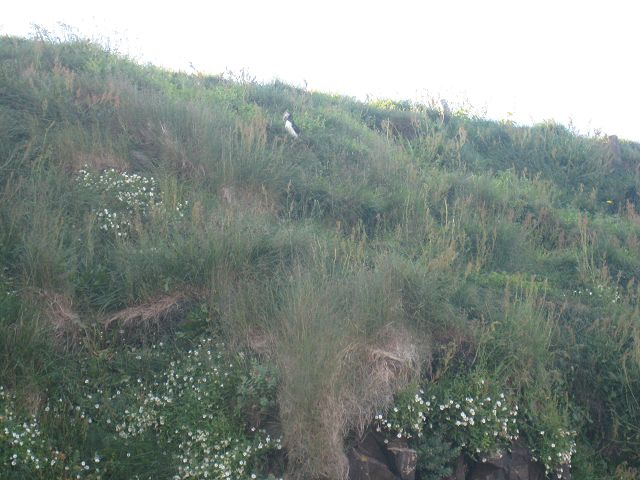
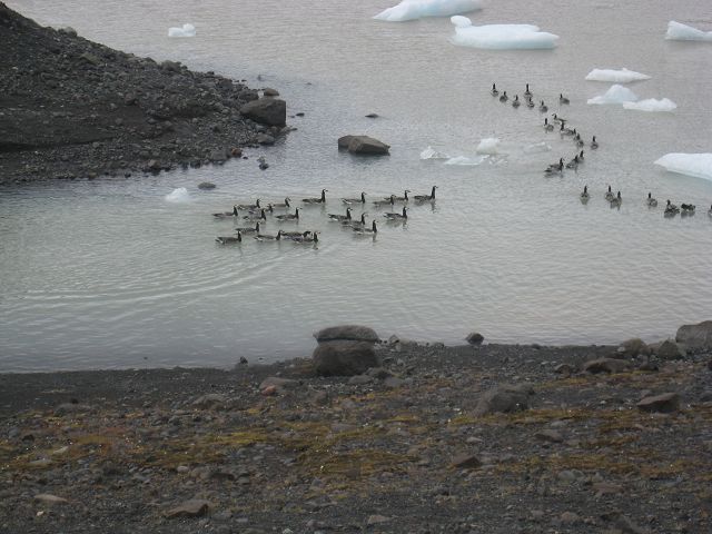
because we had got a hint from Sven Strumann that there is a colony of puffins, which we wanted to have a look at. Unfortunately we didn’t get that close to them as it would have been possible in the northwest of Iceland, e. g. in the area of Látrabjarg. (Because the „Lundis“, as the puffins are called in Icelandic, are leaving there nests normally not later than 10th August, this point was too far away for my travel planning – it would have resulted in waste of time and money to reach the missed point afterwards again.).
Nevertheless we saw some, but just for a short time because they seemed to have problems by seagull attacks and tried to get into their nest-holes as quickly as possible.
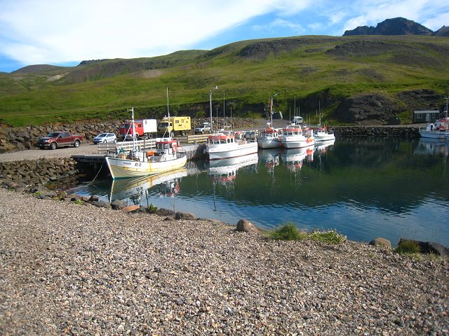
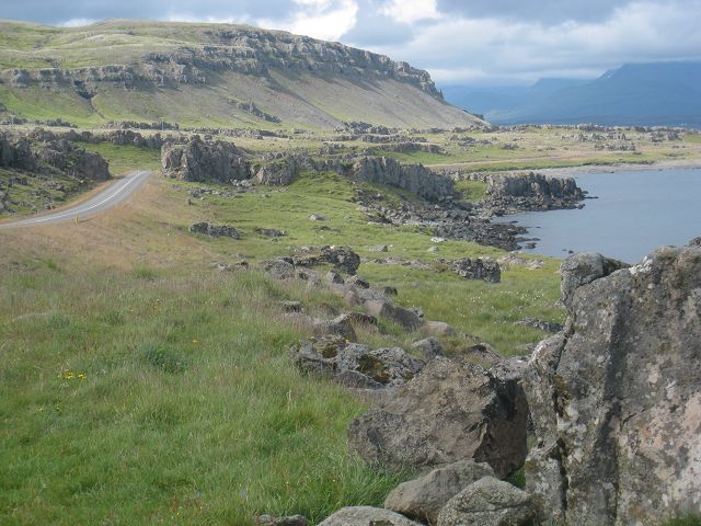
The area is close to a small harbour of Bakkagerði, with an additional note Höfn (=farm house). To stay here overnight is not allowed and so we drove back some kilometres and found a nice and quiet parking place in a valley of the Dryfjöll mountain.
30.07.2010 Starting-km: 133.472, End-km 133.689, Distance 217 km Friday morning we had a fantastic view in the bay of Héraðsflói-Bucht,
whilst we were driving back to Egilsstaðir because we had forgotten, that 1st August is a national holiday and normally no shop will be open (plus eventually the day before and after). On our way we made a stop at a very special supermarket, which selection of goods was limited to two dispenser machines.
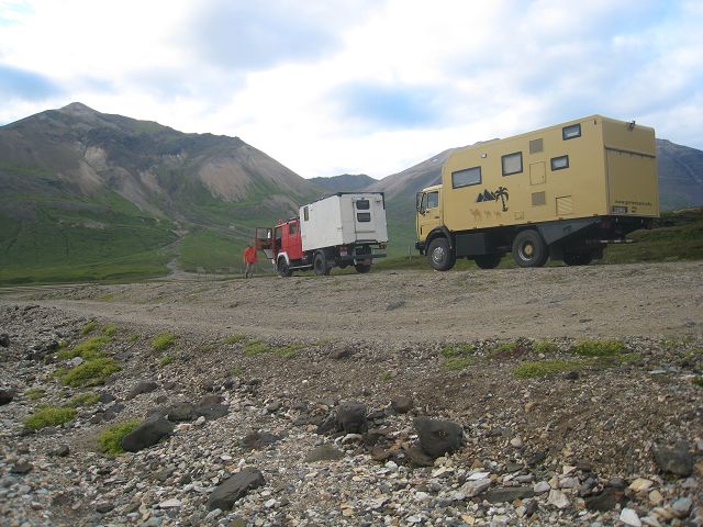
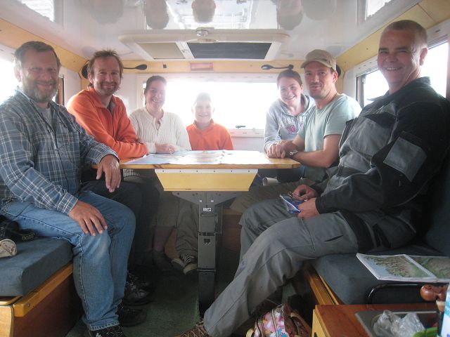
Furthermore we still needed (although already mentioned above) the Siminn-card because the shop had closed because of network problems (that’s what the paper said – I hope that the problems occurred at one of their customers, otherwise it would be negative advertisement!). When we stopped at one of the supermarkets, we met 2 more trucks, all member of the Allrad-LKW-Forum and so we had a small forum-meeting. Us two newbie’s gathered hints and recommendations from Seelig’s and Laske’s for trips and special locations – it was really nice and thank you really very much.
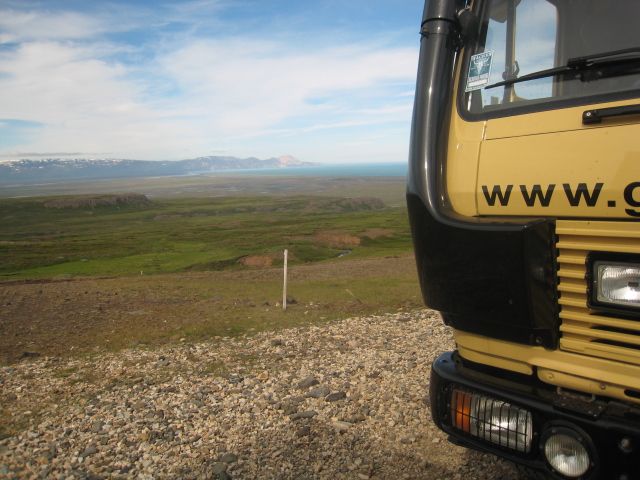
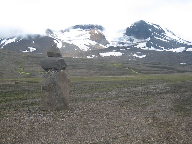
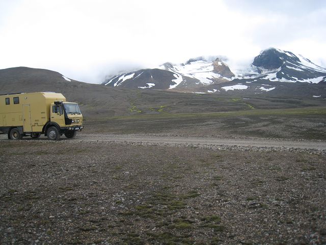
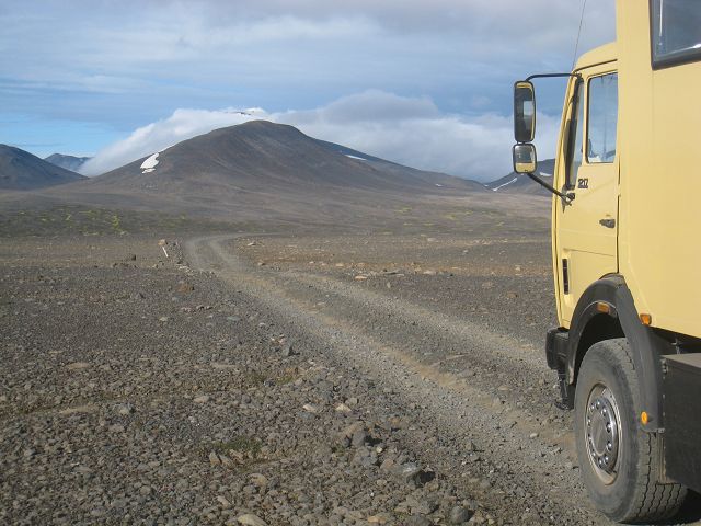
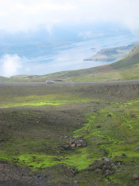
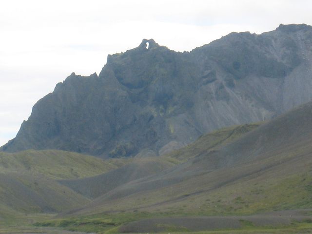
After the meeting I said good-by to family Lauerbach because I wanted to go to the area of Snæfell, the second highest volcano of Iceland with 1833 m. The way passed the Lagarfljót-lake and goes up to a high plain. On the way you see lots of stone pyramids (in the past they were route markers, but the nowadays frequency of these pyramids prevents a useful usage).
After a while the track starts and leaves the solid roads on the right. In the background you can see the Snæfell, in front …, OK, you all know him meanwhile!
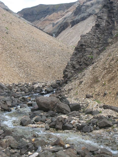
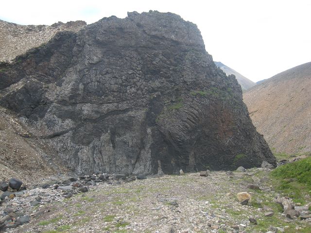
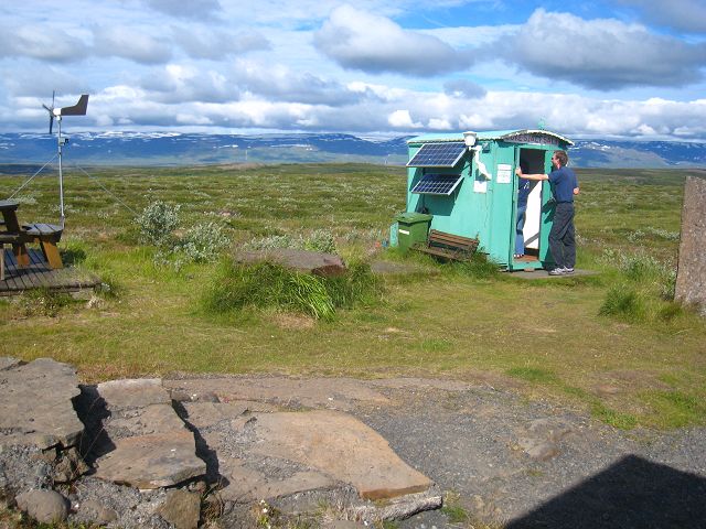
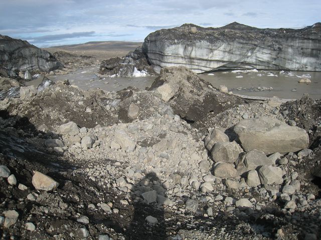
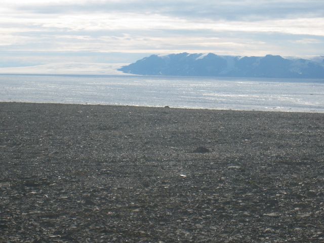
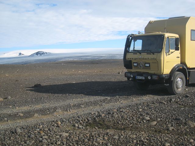
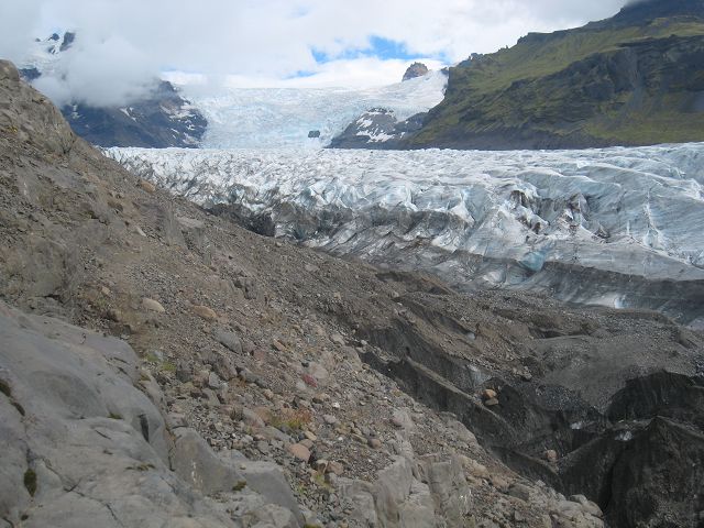
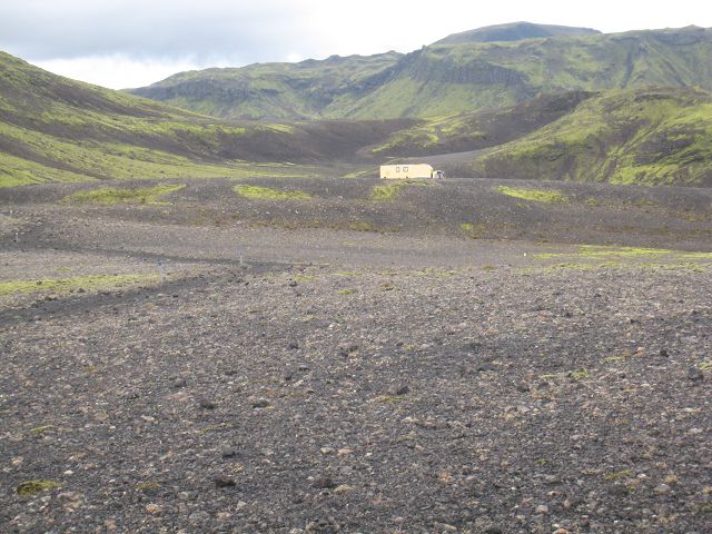
At the bottom of the Snæfell is after ~13 km a ranger station with camp ground and the track goes further to Iceland’s biggest glacier called Vatnajökull. Because I was told that at the end of the track is an ice cave I drove as well the remaining 19 km. There were several river crossings (not very deep, max. 40 cm) but some very steep hills (but because it was dry no problem), sometimes quite rough surface but besides that nothing spectacular driving wise. The ice cave itself wasn’t so impressive, I refused to go in because I was alone and in I would slip I would have followed the melted water without any control! J Here some impressions with view to Snæfell and Vatnajökull:
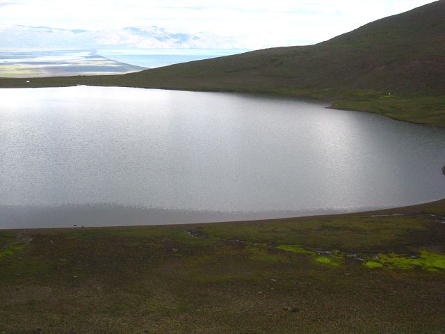
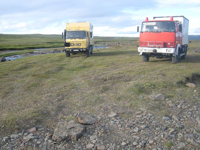
Some kilometres before I reached the tarred street I saw a red truck with a white cabin who changed direction as well to the tarred street. I wasn’t able to identify it straight away but when I managed to catch up, I realized that it was family Lauerbach. Because the interior had survived the first 60 km track I speeded up and managed to be behind them before they were on the tarred road. They were looking for a site to stay overnight and so we looked together. Not too far away we saw in the map that there should be a hot spring, Svartalda, which was not too difficult to get to. Here is as well a camp for riding tours and the place directly at a small river was really lovely.
Thomas Lauerbach helped me to install the surfstick at least at my laptop but with the installation in the PC he failed as well – nevertheless thank you really very much!!
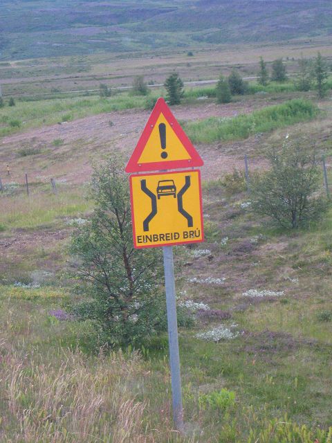
31.07.2010 Starting-km: 133.689, End-km 133.847, Distance 158 km On my way through the only (as far as I was told) bigger forest of Iceland in the area of Hallormsstaður I made this picture, which normally a German should not only understand because of the pictogram but as well because of the similarity to the German language (single lane bridge).
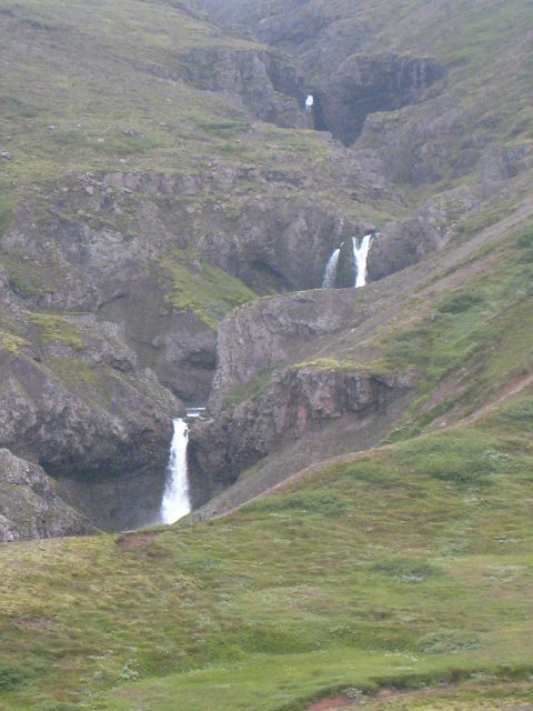
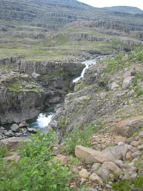
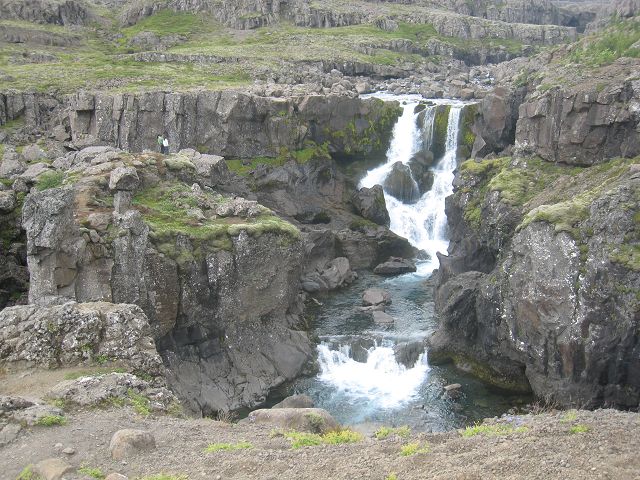
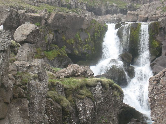
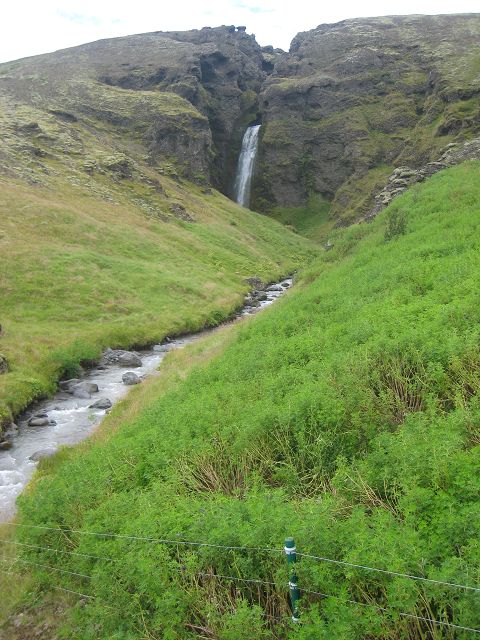
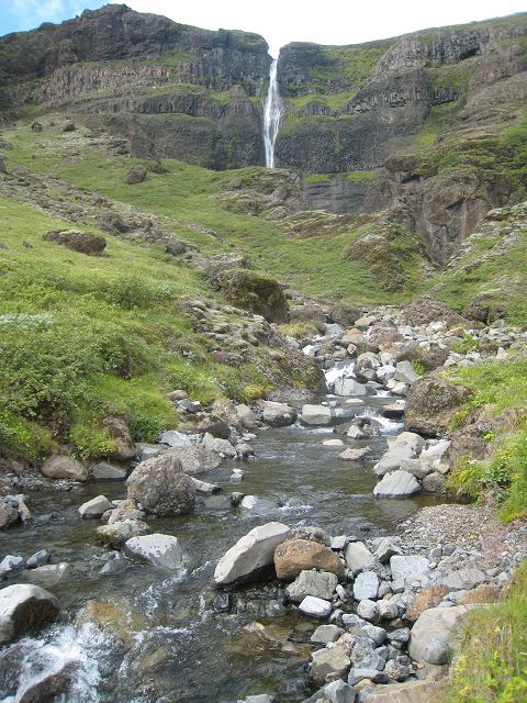
Because I anyhow passed by Egilsstaðir, I filled up the tank again here on Saturday (111 l, which equals because of more off-road 29l/100 km) and planned to ask for support because of my surfstick and the PC. Unfortunately the “expert” had a day off today and so I continued to drive to Neskkaupstaður, where Sven Strumann had recommend to spend the public holiday. On my way there were plenty of waterfall, here just one of them, I haven’t counted them all!
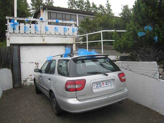
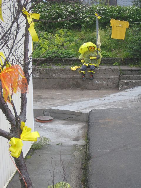
The village was decorated for the event and I was curious what action will take place tomorrow.
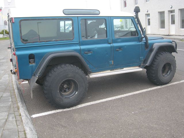
BTW, the tires of plenty of the 4x4 cars here can easily catch up with Big Foot, this one had as well 385 width – OK, at least mine have a bigger diameter. J
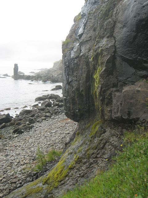
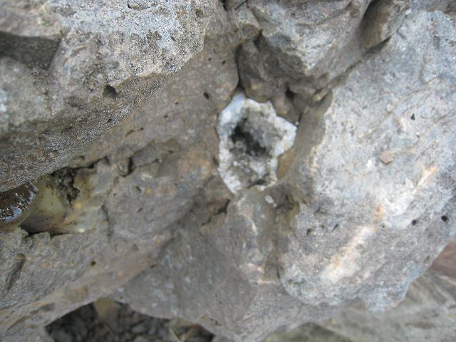
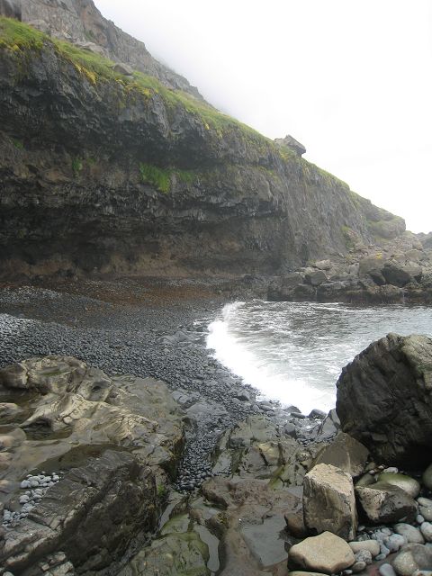
01.08.2010 Starting-km: 133.847, End-km 133.847, Distance 0 km The Sunday was very relaxed. I started with a foot-walk into the fjord which was declared as a protected area. The Easter-cave was easily accessible by ladders and there are several sagas about it.
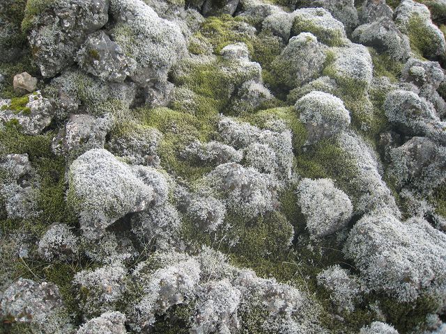
Some of the rocks contain rock crystals but the bigger ones seemed to have been broken out already, only small ones and those who are hardly accessible where still there.
In the cave are holes left from trees when they got surrounded by hot lava – and these are now visible again, unfortunately I didn’t see them. The sound of the round stones is very interesting when the flood rolls back and the stones at the steep shore as well.
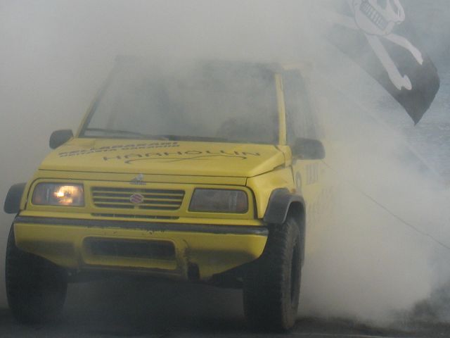
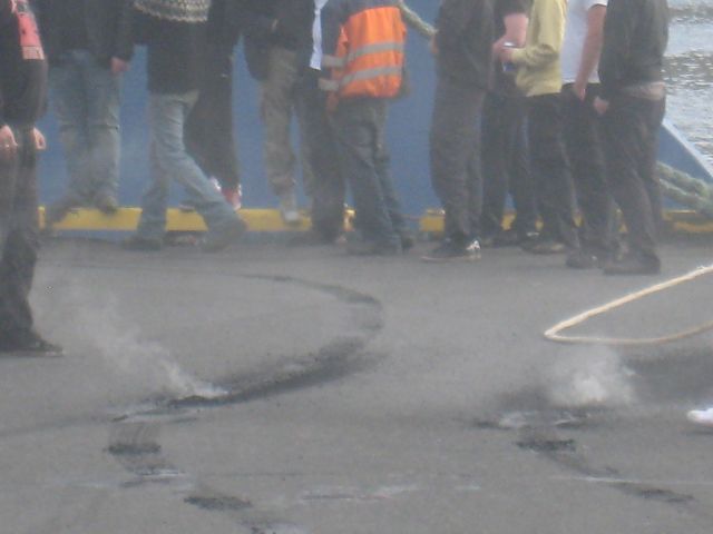
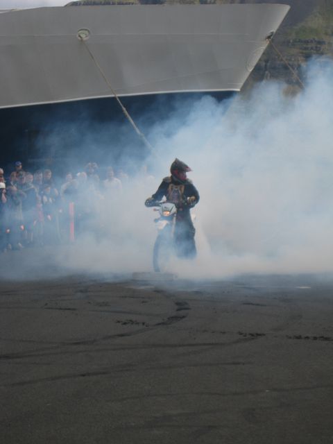
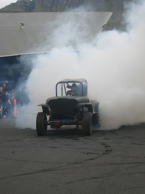
The footpath gets smaller and smaller and more difficult the further you go and so I returned after a few kilometres – as far as I found out it isn’t anyhow a round-trip. Afterwards I went down into the village, hoping that the party got started meanwhile. Sven Strumann had told me that it is an event for families, not excessive drinking etc.. But that it is that calm I hadn’t expected. On the stage young children were singing Karaoke – for sure interesting for the proud parents but for an adult looking for some adventure and action not really the real stuff. So I had a look at the burn-out event of the local teenagers and decided to leave.
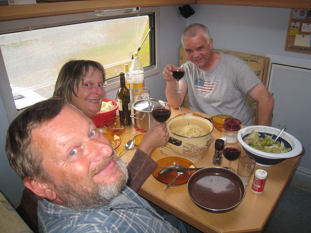
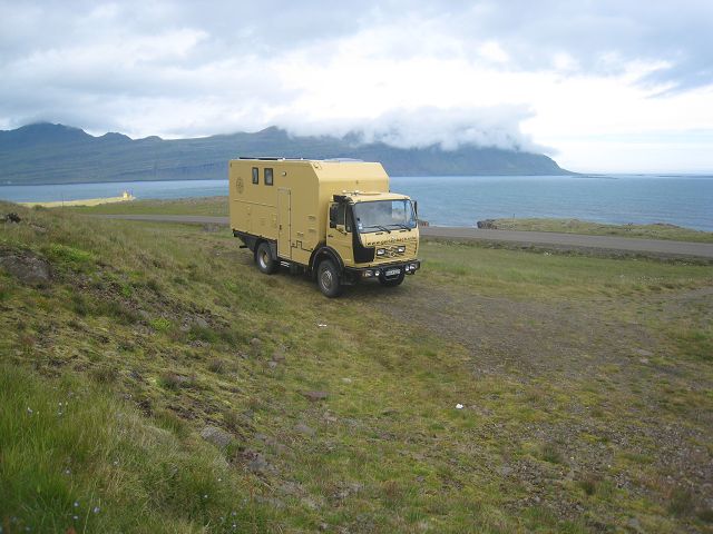
When I just had passed the city limits a Bremach-camper approached me – I know these guys!?!? So I turned around and really – it was Wolfgang and Sybille, which I already had met at the parking lot of the supermarket in Egilsstaðir. So I drove back with them and showed them what I had found out and we decided to spend the evening together. After out tour with photo-shooting from Sybille und Wolfgang
we prepared our evening dinner: Spaghetti Bolognese and fruit salad plus a delicious red wine, to get started a Gin-Tonic and finally Cognac, coffee and sweets.
More or less stuffed we went to have a look at the firework which started at 23:00h but due to the still not dark northern sky the impression was not too overwhelming and it only last max. 8 minutes. But afterwards we were sitting happily together till 02:00h talking a lot.
02.08.2010 Starting-km: 133. 847, End-km 134.170, Distance 323 km After Sybille, Wolfgang & I had on Monday morning breakfast together I headed south to explore the next fjords – a dramatic & impressive landscape with mountains starting from sea-level steep up to 1.000 m and more.
My next stop was Höfn, where I had 3 boxes for a friend from Sven Strumann named Werner. When I arrived at 18:00h we decided to enjoy the local speciality hummer in a restaurant, although it was not really hummer but prawn – called here hummer. But they were delicious. While we waited for a table we got in contact with Nils, a German from Kiel and we decided to enjoy the dinner together. And because we all enjoyed it that much we all went to Werner afterwards to have some more drinks.
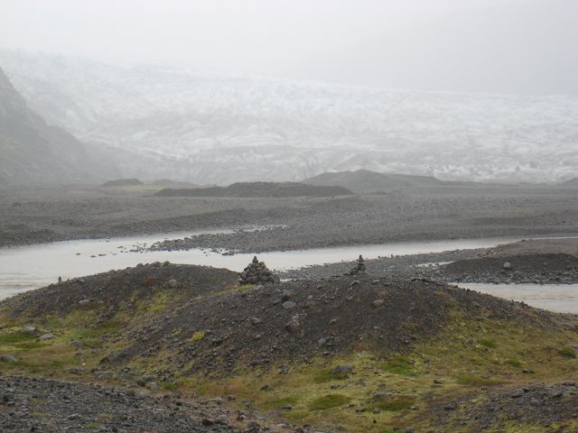
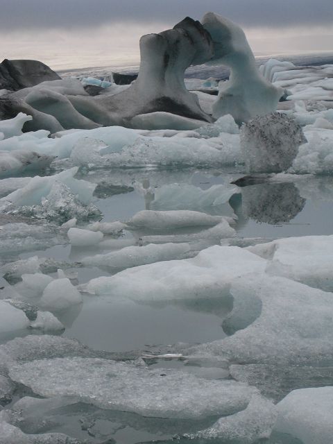
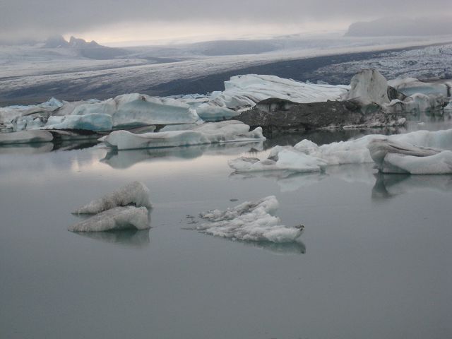
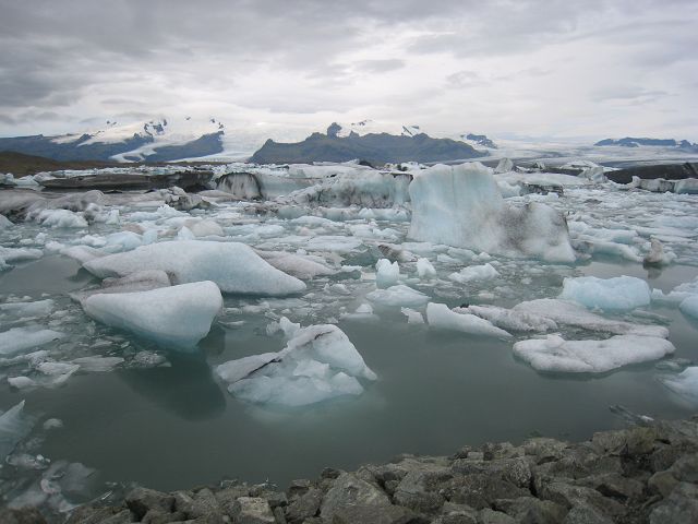
03.08.2010 Starting-km: 134.170, End-km 134.293, Distance 323 km After Werner had accompanied for shopping in the local supermarket we had breakfast together and he recommended the local computer expert to fix my problem with the surfstick and the PC. Although he tried hard and long he was not able to fix it. In the meantime I had washed some cloths, had filled the tank (110l, which equals 27l/100km), filled the fresh-water tanks and got the waste water and emptied the toilet (as already mentioned, normally every gas station offers these complete and free of charge service for camper vans – plus FOC washing facilities! Fantastic!!) before I left Höfn. On my way west I made several trips to Vatnajökull,
till I finally stopped at Jökulsa, where the big ice blocks fell off the glacier directly next to the sea. So I had a fantastic scenery – which could only have been topped by sunshine! J
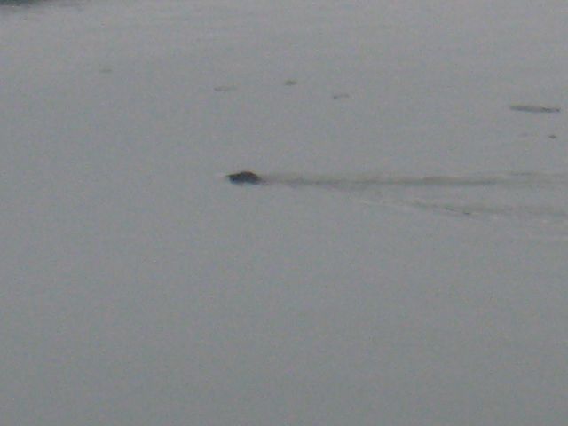
Even seals I saw here which came into the small lake, as I read fish where pushed by the flood into the lake and where then an easy catch for the seals.
04.08.2010 Starting-km: 134.293, End-km 134.549, Distance 256 km I took some more photos because I had sometimes sunshine before I continued on my way.
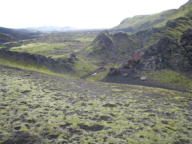
My target was the volcanic area Laki, but in advance I took several sidetracks from the “1” to waterfalls.
And here another one:
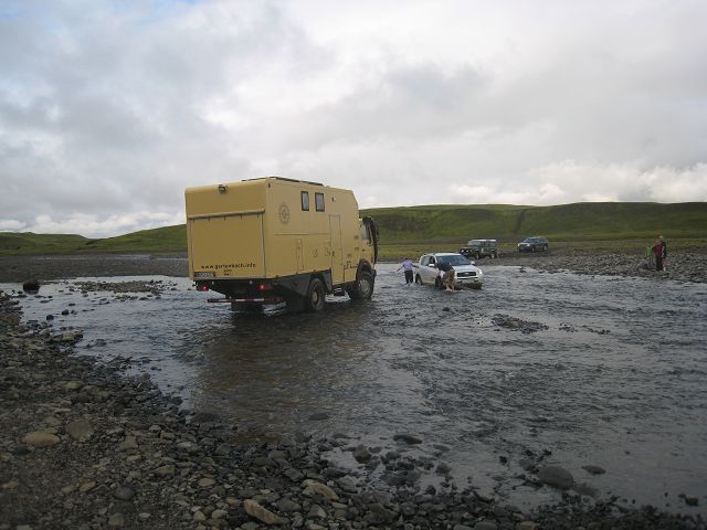
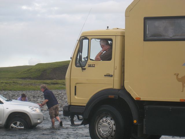
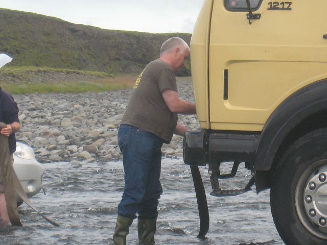
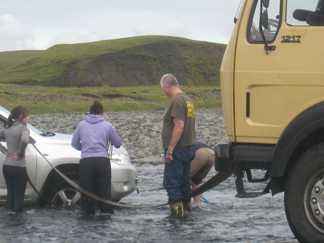
Not far behind Kirkjubæjar I left the ring road and hit the track F206 which brings you to the volcano area around the Laki. Because I already had driven on brown marked roads my suggestion was, that this one couldn’t be that much worse. Actually it was very bad and sometimes I had to use the 1st gear in the reduced mode – that was the only chance to manage the dumps and washboard structure. But of course the landscape was very beautiful, waterfalls, and several river crossings. More or less in the middle of the track a French lady had got stuck with here rented 4x4 jeep in a river and I offered to pull her out. But neither she nor the other people around had any tools to pull the car out nor were they aware that these new cars have behind a cover a thread into which a hook can be screwed in, to pull the car.
So my original plan just to pull her out and maintain dry feet failed
and I had to supervise them here as well
The rescue itself was absolutely no issue because the river wasn’t really deep.
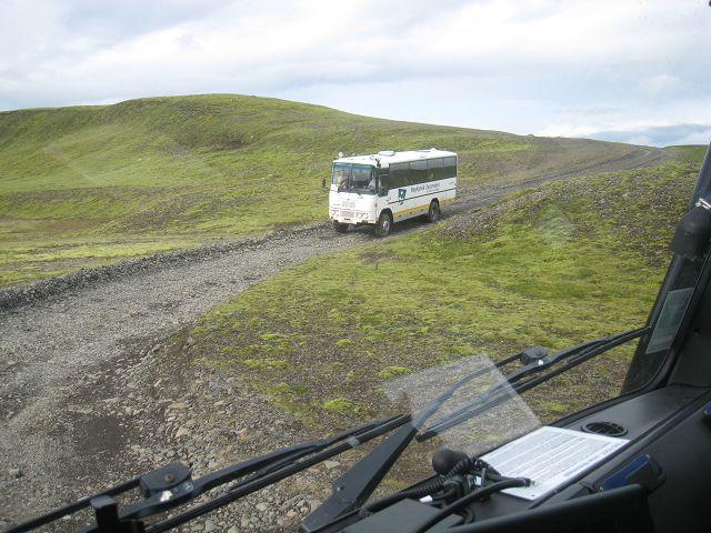
BTW: Icelandic coaches are driving on this track. One of them didn’t even had 4x4 – and I so far was proud that I had managed everything with 4x4! OK, I have to admit that this track more or less required ground clearance – that’s it pretty much. Plus a good suspension of course. But because some of the hills were very steep I assume that the 4x2 coach at least had a differential locking.
On the top of the crater I met after a total of 3 hours for 50 km the two 4x4 cars which I had met whilst the rescue-action.
Meanwhile it was ~ 20:00h and my plan was to drive back just a few kilometres of the horrible track and rest somewhere to go to sleep. But because it takes quite long before it really gets dark I continued and finally arrived in Kirkjubæjar. The benefit was that I wanted to fill up diesel and hoped to have access to the Icelandic UMTS-network. So I was able once I had turned the motor off at 23:00h to have a look in the web and to answer urgent emails. The night itself was a little bit nervous and I had strange dreams of screws got loose at the furniture – no wonder after that rough track.
|
|